

Hurricane Isaias surged toward the U.S. Gulf Coast on Thursday as the first hurricane of the Atlantic season, prompting mandatory evacuations, school closures, and local government shutdowns across several states. The storm, which transitioned from a tropical storm to a Category 1 hurricane, has triggered emergency protocols in Florida, Mississippi, and Alabama as residents and officials brace for significant environmental and infrastructural impacts. National Weather Service meteorologists have warned that the system is likely to undergo rapid intensification before making landfall, posing a multifaceted threat that includes life-threatening storm surges, destructive winds, and the potential for isolated tornadoes.
As of Thursday afternoon, the National Hurricane Center (NHC) reported that Isaias maintained maximum sustained winds of approximately 85 mph (140 kph), moving east-northeast at a rate of 10 mph (17 kph). The storm’s center was located roughly 355 miles south of the mouth of the Mississippi River. Forecasters anticipate that the hurricane will make landfall along the northern Gulf Coast late Friday or early Saturday morning. While the hurricane is expected to weaken relatively quickly after moving inland, the initial impact is projected to be severe, with heavy rainfall and flooding potential extending as far north as Tennessee and North Carolina throughout the weekend.
Meteorological Forecast and Storm Surge Projections
The primary concern for coastal communities remains the storm surge, which occurs when hurricane-force winds push seawater onto land. Forecasters indicate that the combination of the storm surge and high tide could result in water levels rising between 5 and 7 feet in vulnerable sections of Alabama and Mississippi. Such an influx of water can inundate low-lying coastal roads, destroy beachfront property, and compromise local drainage systems.
In addition to the surge, Isaias is expected to deliver substantial precipitation. Coastal areas could see up to 15 inches of rain, a volume that frequently leads to flash flooding, particularly in urban environments with high proportions of impervious surfaces. The atmospheric conditions surrounding the storm also remain conducive to the formation of tornadoes. Meteorologists have issued warnings for the overnight period from Friday into Saturday, covering a broad region from the Florida Panhandle and southwestern Georgia to southern Alabama.
A Historic Delay in the Atlantic Hurricane Season
The emergence of Isaias as the first hurricane of the year marks a significant anomaly in the 121-year history of Atlantic storm tracking. Developing more than four months into the official season, Isaias was just one day shy of tying the record for the latest-forming first hurricane in the Atlantic basin. The current record was established in 1905, when the year’s inaugural hurricane did not form until October 8.
Climatologists attribute this unusually quiet season to a robust El Niño pattern. El Niño, characterized by the warming of surface waters in the central and eastern Pacific Ocean, creates strong vertical wind shear across the Atlantic. This shear effectively "decapitates" developing tropical systems, preventing them from organizing into hurricanes. However, while the Atlantic has remained suppressed, the Pacific Ocean has seen above-average activity. Tropical Storm Simon formed Wednesday off the coast of Mexico, and Tropical Storm Rachel is currently projected to approach northern Baja California and Southern California by the end of the weekend. The contrast between the two basins highlights the complex global interplay of oceanic and atmospheric temperatures.
Power Infrastructure and Utility Mobilization
As the storm nears, the energy sector has moved into high-alert status. Major utility providers across the Southeast have activated comprehensive emergency response plans to mitigate the risk of prolonged power outages. Grid resilience has become a focal point of these preparations, with companies drawing on lessons learned from previous historic storms.
Florida Power & Light (FPL) Readiness
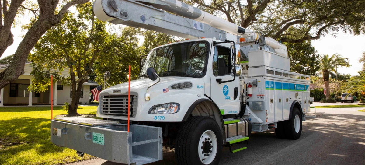
Florida Power & Light Company (FPL), the state’s largest utility, has activated its emergency response plan, mobilizing a massive workforce of approximately 12,000 personnel. To maximize efficiency, FPL is finalizing 16 processing and staging sites, which allow crews to be positioned "closest to areas likely to feel the greatest impact." This strategy is designed to reduce travel time once it is safe to begin restoration work.
"At FPL, we are moving crews and resources in advance of Hurricane Isaias so we can respond immediately and quickly restore power for our customers," said FPL President and CEO Scott Bores. He emphasized that the utility has also secured additional restoration personnel through mutual aid agreements with other utilities and electrical contracting firms. Bores urged the public to finalize their personal emergency plans and strictly adhere to guidance from state and local emergency management officials.

Georgia Power and Duke Energy Florida
In Georgia, the state’s primary utility has positioned emergency response teams and equipment in western and central service areas. Georgia Power crews have been active in the field for several days, performing preventative maintenance such as trimming trees near high-voltage lines. Tree-related damage is a leading cause of outages during hurricanes, as high winds can easily topple branches onto transformers and distribution lines. Georgia Power also confirmed that customers are automatically enrolled in SMS-based outage alerts to ensure real-time communication during the storm’s passage.
Duke Energy Florida has also mobilized its emergency response teams but issued a cautionary note regarding the complexity of the upcoming restoration efforts. Todd Fountain, Duke Energy Florida’s storm director, warned that strong winds and localized flooding could create "lengthy and difficult" repair conditions. "The safety of our customers, communities, and employees remains our top priority," Fountain stated, noting that crews would begin work as soon as weather conditions allowed for the safe operation of bucket trucks.
Regional Cooperation and Public Power Networks
The Florida Municipal Electric Association (FMEA), which represents 33 public power communities and serves more than 4 million consumers, has activated its mutual aid network. This network allows municipal utilities to share resources, equipment, and personnel across state lines. Amy Zubaly, Executive Director of FMEA, noted that while many public power communities are currently outside the direct forecast cone, the organization remains prepared to assist any impacted utilities. "It is anticipated that Hurricane Isaias will bring heavy rainfall, damaging winds, possible tornadoes, and storm surge, which could lead to widespread power outages," Zubaly warned.
In Alabama and the Florida Panhandle, Baldwin EMC—an electric cooperative serving the region between Mobile and Pensacola—has placed all crews on emergency alert status. Vice President of Corporate Services Mark Ingram confirmed that the cooperative has stocked extra supplies, including poles, transformers, and wire. "We have a fine-tuned disaster plan in place, and we’ll be ready to respond within a matter of hours after the storm hits," Ingram said.
Potential Impacts in Mississippi and Texas
Entergy Mississippi is closely monitoring the eastern portion of its service territory, particularly areas east of I-55. The utility highlighted a unique risk factor for this storm: a 2023 drought followed by insect infestations has left much of the region’s vegetation compromised. Weakened trees are significantly more likely to fall during the high-wind events associated with a hurricane, potentially increasing the number of power outages even in areas that do not experience the storm’s full force.
In contrast, CenterPoint Energy, which serves the Greater Houston area and the Texas Gulf Coast, reported that no direct impacts are currently expected for its customers. Lead Meteorologist Marco Monreal stated that while the storm is strengthening, its current trajectory takes it well away from the Texas coast. However, the company remains in a state of readiness, with emergency operations centers prepared for activation should the forecast shift unexpectedly.
Broader Socioeconomic Implications
The arrival of Isaias at this juncture in the year poses several challenges for the Gulf Coast economy. Mandatory evacuations in Florida, Mississippi, and Alabama disrupt local commerce and put a strain on transportation infrastructure. School closures and government shutdowns further impact the daily lives of residents, while the agricultural sector faces the threat of crop damage from excessive rainfall and wind.
Furthermore, the hurricane serves as a reminder of the increasing volatility of seasonal weather patterns. While El Niño has provided a temporary reprieve for the Atlantic basin this year, the rapid intensification of Isaias underscores the reality that even a "quiet" season can produce dangerous storms. Emergency management experts note that the late start to the season can sometimes lead to public complacency, making clear and consistent communication from utilities and government agencies vital to ensuring public safety.
As Isaias continues its trek toward the northern Gulf Coast, the focus remains on the window of time between Thursday evening and Saturday morning. The effectiveness of the pre-positioned utility crews and the resilience of the hardened electrical grids will be put to the test as the first hurricane of the season makes its mark on the American Southeast. State officials continue to urge residents in the path of the storm to stay weather-aware and prepare for the possibility of multi-day power outages and significant travel disruptions.
